GBA orders municipal engineers to use dashcams for daily Bengaluru road surveys
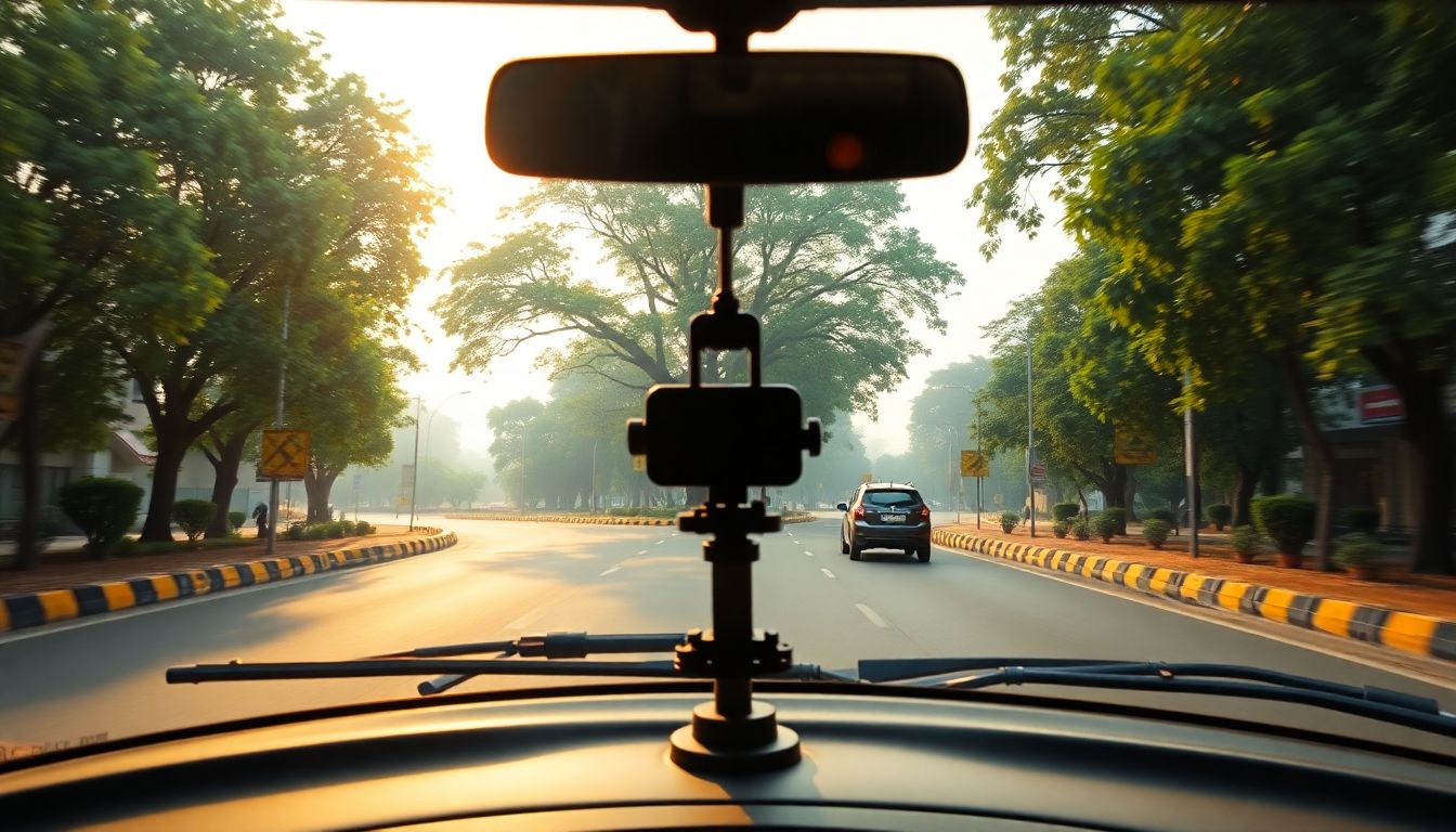
The Greater Bengaluru Authority (GBA) has directed municipal engineers to use vehicle-mounted dashboard cameras to conduct daily surveys of arterial and sub-arterial roads across Bengaluru's five municipal corporations. GBA Chief Commissioner Maheshwar Rao issued the directive during a virtual review meeting on Thursday, aiming to identify road damages, prioritize repairs, and build a digital road inventory.
Under the new directive, officials will conduct the dashcam surveys every day between 7 a.m. and 9 a.m. This morning time slot was selected to minimize traffic disruptions while allowing engineering teams to cover longer stretches of the city's road network.
The recorded footage will be shared with the Information Technology wings of the respective municipal corporations. These IT teams will analyze the videos and prepare detailed reports on road conditions, helping authorities locate damaged stretches, assess maintenance needs, and prioritize repair works.
While the first phase of the initiative focuses on arterial and sub-arterial roads that carry the bulk of Bengaluru's traffic, the GBA plans to expand the survey in subsequent phases to cover ward roads. This expansion will eventually create a comprehensive digital database of the entire road network in the city.
The daily video surveys will also strengthen the monitoring of roads currently under the Defect Liability Period (DLP), during which contractors are responsible for rectifying defects. Commissioner Rao directed officials to prepare separate lists of roads that are still under DLP and those where the liability period has expired. Rao emphasized that any defects identified on roads still under warranty must be repaired by the respective contractors at no additional cost to the government.
This technology-backed initiative aims to establish a detailed Road Asset Inventory by documenting the condition of roads, potholes, and footpaths. The visual data is expected to reduce reliance on manual inspections and provide timestamped records to hold contractors and civic agencies accountable, especially following public complaints about road quality during the monsoon.